January 07, 2007
Google Maps - Old?
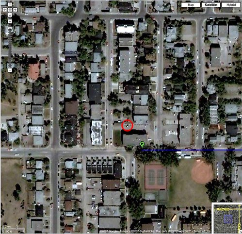
I was playing around with Google Maps and of course I checked out my apartment from the satellite view. I thought I saw my car [circled in red] in the parking lot, but then I realized it was in the wrong parking stall so it can't be mine. [Cause I always use my own stall!]

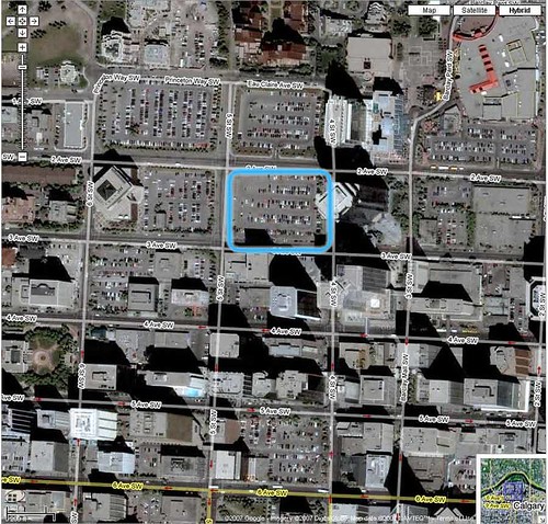
So I then checked out a construction site in downtown Calgary. [the blue square] The Google Maps view showed it as a parking lot, even though right now it is a big hole in the ground and it hasn't been a parking lot since summer. I wonder if all Google maps are this old or if it's just the Canadian ones?

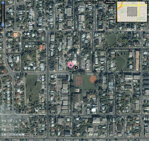
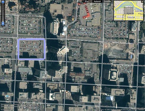
I also checked out Yahoo! Maps for comparison. They don't seem to zoom in as far as Google Maps so I couldn't really tell if that's my car in the parking lot. They use different satellite maps though, cause the pictures do look different. I checked out the construction site downtown and they show the parking lot as well.


I also mapped out a trip with each service. From my place to Sylvan Lake, Alberta:
Yahoo! says it will be 100.4 miles [about 150 kilometers, Yahoo! is not aware of Canadians using the metric system apparently] and travel time is 1 hour 55 minutes.
Google says it will be 173 kilometers and take about 1 hour and 48 minutes.
Google sticks to the main highway while Yahoo! takes a more direct approach using back roads. Google's route is longer, yet takes a shorter [estimated] amount of time.
